
- HOME
- Cycling Courses
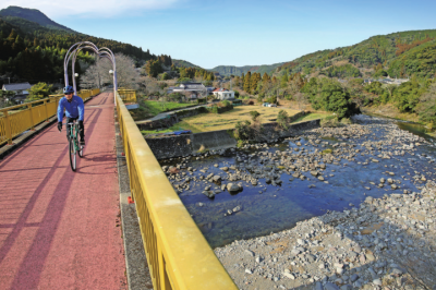
- The “Minamata-Ashikita Mountain Route” runs through terraced rice fields and steep mountain passes
The “Minamata-Ashikita Mountain Route” runs through terraced rice fields and steep mountain passes
Number of Hits:27
This scenic route winds through a serene mountainous landscape adorned with terraced rice fields. Starting from the "Roadside Station Ono Onsen" and ending at "Roadside Station Ashikita Dekopon," cyclists can enjoy a leisurely ride along a relatively gentle riverside road, breathing in the crisp mountain air. The most challenging segment of the route lies in the mountain pass between the Furuishi and Kugino areas, featuring steep slopes of over 10% that will put cyclists' leg strength to the test. In the Kugino area, travelers can discover the source of the Samukawa River and marvel at the beauty of terraced rice fields. Descending from this point leads to Minamata Station via a 14-kilometer bicycle/pedestrian path known as "Japan's Longest Sports Field," repurposed from the abandoned JR Yamano Line. Clean restrooms and drinking fountains are conveniently located along the route for a comfortable journey, but cyclists should exercise caution and refrain from speeding.

①Minamata/Ashikita Mountain Route

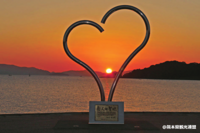
②Eco Park Minamata

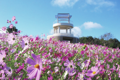
③Nakaoyama Park

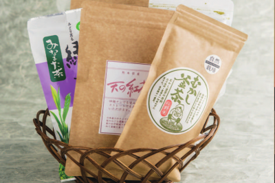
④Minamata tea/Japanese black tea

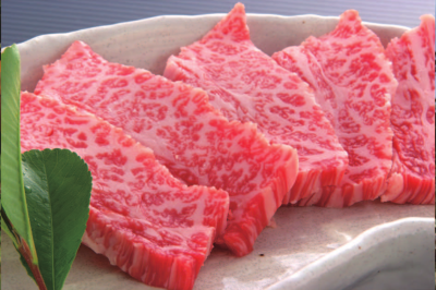
⑤Ashikita beef
- Section
- Roadside Station Ono Onsen - Roadside Station Minamata
- Distance
- 61.9km
- Inquiries
- Kumamoto Prefecture Southern Prefecture Regional Headquarters Promotion Division
1660 Nishikatamachi, Yatsushiro City
TEL:0965-33-3149
FAX:0965-33-3174
E-mail:nansoushinkou26@pref.kumamoto.lg.jp
URL:https://www.pref.kumamoto.jp/site/kennan/166557.html
- Related Files